The English version of this page is being translated and reviewed; the Thai original is shown for now.
MicaSense imageprocessing
MicaSense imageprocessing: เปิด sample capture ทำ radiometric correction, band alignment และ reflectance พร้อมวิธีใช้ Windows/Linux และเงื่อนไขสิทธิ์
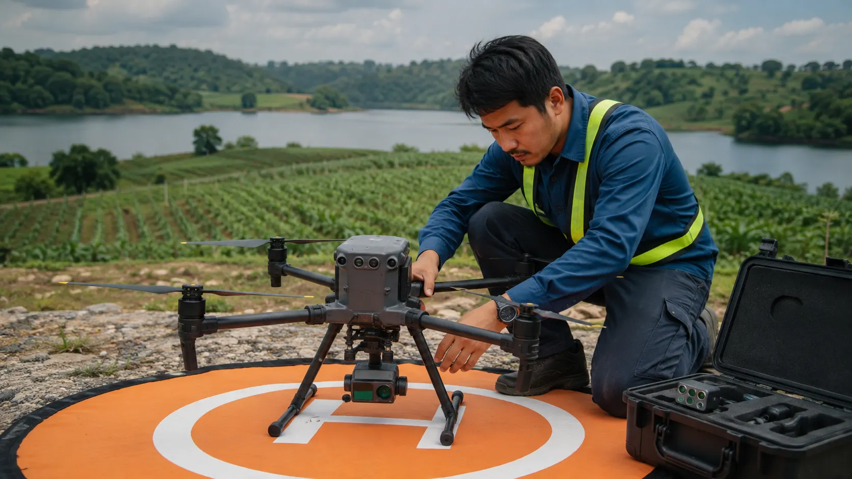
เปิด sample capture ทำ radiometric correction, band alignment และ reflectance
Payload และข้อมูลสำรวจ · OSS
- Windows
- Windows: Python/Jupyter ตาม setup
- Linux
- Linux: Python/Jupyter ตาม setup
- สิทธิ์การใช้
- MIT · อ่านเงื่อนไขจากแหล่งต้นทาง
- ต่อยอดอุปกรณ์
- RedEdge / Altum / multispectral-thermal
- ตรวจแหล่งข้อมูล
- · ตรวจเอกสาร ยังไม่ได้ทดสอบรัน
ก่อนเริ่มทดลอง
มีภาพตัวอย่างเริ่มได้โดยไม่มีกล้อง; ต้อง Git LFS; เป็นงานชุมชน ไม่ใช่ผลิตภัณฑ์ที่ vendor support โดยตรง
GitHub เป็นแหล่งโค้ด ใช้คู่มือติดตั้งของโครงการก่อน หากมี binary หรือ package ให้เลือกตรงระบบ การกด Code → Download ZIP อาจไม่รวม submodules หรือข้อมูล Git LFS ที่จำเป็น
ตรวจใบอนุญาตของเวอร์ชันที่เลือก รวมถึง dependency, model weights และ dataset แยกกัน เงื่อนไขการใช้ซอฟต์แวร์ไม่ได้ครอบคลุมภาพและข้อมูลทุกชิ้นโดยอัตโนมัติ
โจทย์ที่ใช้เครื่องมือนี้
- จัดแนวภาพ multispectralเข้าใจ band alignment และ radiometric correction
Used in courses
DRT 453 Remote Sensing and Geographic Information SystemsDRT 457 Unmanned Aircraft Systems Technology for Smart Agriculture and Remote Sensing
How to cite this page
Drone Institute, Rangsit University. (2026). MicaSense imageprocessing. In UAS Technology Knowledge Hub (B.Tech.). https://rsu-drt.pk-research.work/en/kb/resources/p08/