The English version of this page is being translated and reviewed; the Thai original is shown for now.
Aligning multispectral images
เข้าใจ band alignment และ radiometric correction
L08 · แนวทางทดลอง
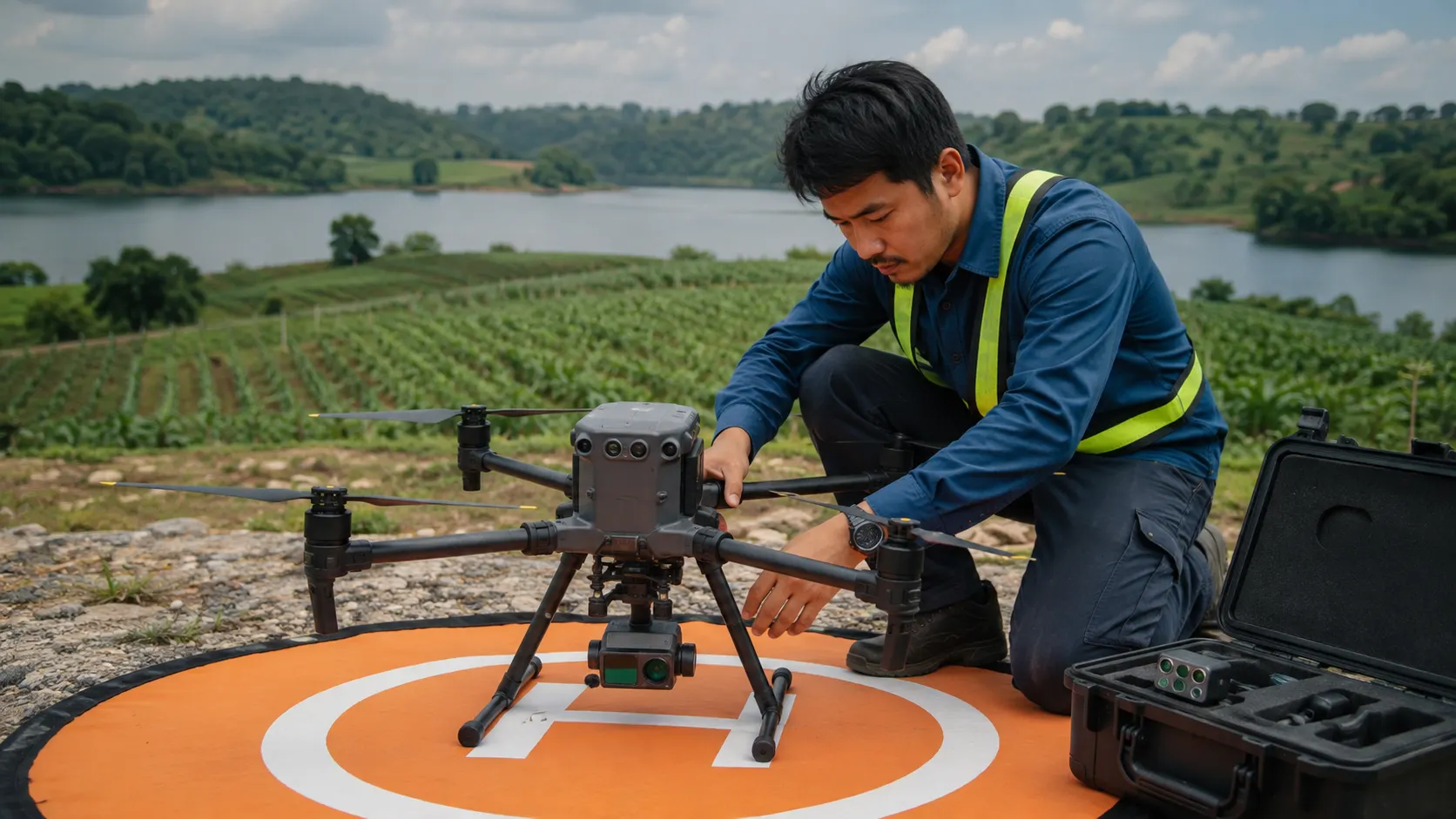
เข้าใจ band alignment และ radiometric correction
อ่านหลักการ: Payload และข้อมูลสำรวจ
สิ่งที่ต้องเตรียม
sample capture ของ MicaSense; Git LFS และ environment ตามคู่มือ
QGISJupyter NotebookMicaSense imageprocessing
เลือกขั้นตอนติดตั้งที่ตรง Windows/Linux และตรึงรุ่นตามคู่มือต้นทาง รายการนี้ยังเป็นโจทย์ทดลอง ไม่ใช่บันทึกผลที่รันผ่านแล้ว
ลำดับทดลอง
- เปิด setup notebook ตรวจ dependency และ sample images ครบ
- เลือก notebook ให้ตรง RedEdge/Altum หรือรุ่นที่ระบุ
- เปรียบเทียบภาพก่อน/หลัง calibration และ alignment
- บันทึกพารามิเตอร์และดูขอบวัตถุที่เหลื่อมระหว่าง band
ผลลัพธ์ที่ควรเก็บ
notebook, ภาพเปรียบเทียบ และบันทึก calibration metadata
ตรวจความเข้าใจและผลที่ได้
อธิบายความต่างระหว่าง pixel value กับ reflectance ได้
ขอบเขตการตีความ
ภาพ RGB ใส่สีไม่ใช่ multispectral หรือข้อมูลอุณหภูมิ radiometric
Used in courses
DRT 453 Remote Sensing and Geographic Information SystemsDRT 457 Unmanned Aircraft Systems Technology for Smart Agriculture and Remote Sensing
How to cite this page
Drone Institute, Rangsit University. (2026). Aligning multispectral images. In UAS Technology Knowledge Hub (B.Tech.). https://rsu-drt.pk-research.work/en/kb/labs/l08/